A Campaign Converges on the Valley
Attraction
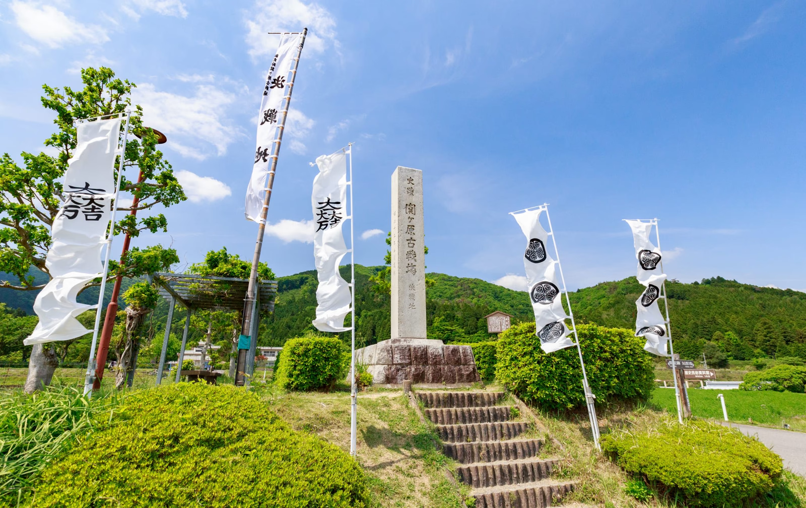
The battle fought at Sekigahara in October 1600 was the convergence of a wider political and military campaign, not a self-contained duel staged in one field. Forces identified as the Eastern Army and Western Army arrived through different routes and occupied ridges, roads and low ground around the valley. Modern settlement and agriculture have changed the surface, but the enclosing terrain still explains why position, visibility and delayed movement mattered. Begin with the overall map and horizon before approaching individual commanders' markers. The battle redistributed political opportunity after Toyotomi Hideyoshi's death, yet Tokugawa rule was not automatically complete when fighting stopped. Sekigahara is historically decisive because it accelerated the reordering of daimyo, lands and alliances that Ieyasu then converted into a durable regime.
Current visibility
“A Campaign Converges on the Valley” is encountered across the present Sekigahara Battlefield landscape, with the battlefield terrain, the present landscape, and the road and path carrying the reading rather than one uniformly accessible object.
Mount Sasao, Ieyasu's Camps and Contingent Decisions
Attraction
The Mount Sasao position marker identifies the camp associated with Ishida Mitsunari and provides a view across the central ground; markers for Tokugawa Ieyasu's first and final headquarters record how command shifted during the fighting. Read these named sites and the road between them as a connected system rather than a collection of commanders. Other forces waited, moved or entered combat under pressures that later stories often simplify as fixed loyalty or betrayal. Distance between the camps, obstructed views and routes of approach shaped what leaders could know and when they could act. The Eastern Head Mound and Western Head Mound add a different scale to the battlefield, returning attention from elite strategy to the dead left behind after political winners reassigned domains.
Current visibility
Modern camp and headquarters markers, roads, views, and battlefield terrain make the command positions legible; the note does not claim archaeological remains.
Museum Reconstruction and the Surviving Battlefield
Attraction
The Gifu Sekigahara Battlefield Memorial Museum supplies maps, artifacts and immersive media for a battle whose original structures were temporary. Its simulations are interpretation, not visual recordings of 1600. Use them to establish sequence and army distribution, then test that model against the outdoor landscape. Conversely, isolated flags and stones outside cannot explain the campaign without documentary context. The productive relationship is between constructed overview and surviving terrain. Sekigahara also carries histories beyond the battle, including the ancient Jinshin War and the Nakasendo route, but the HO Place remains focused on how the 1600 conflict reorganized the people and domains already present in the historical corpus.
Current visibility
Museum maps, artifacts, and simulations interpret the battle, while the outdoor battlefield terrain provides a spatial reference; the simulations are not visual records of 1600.