Owada-no-tomari, Kiyomori and the Seto Inland Sea
Attraction
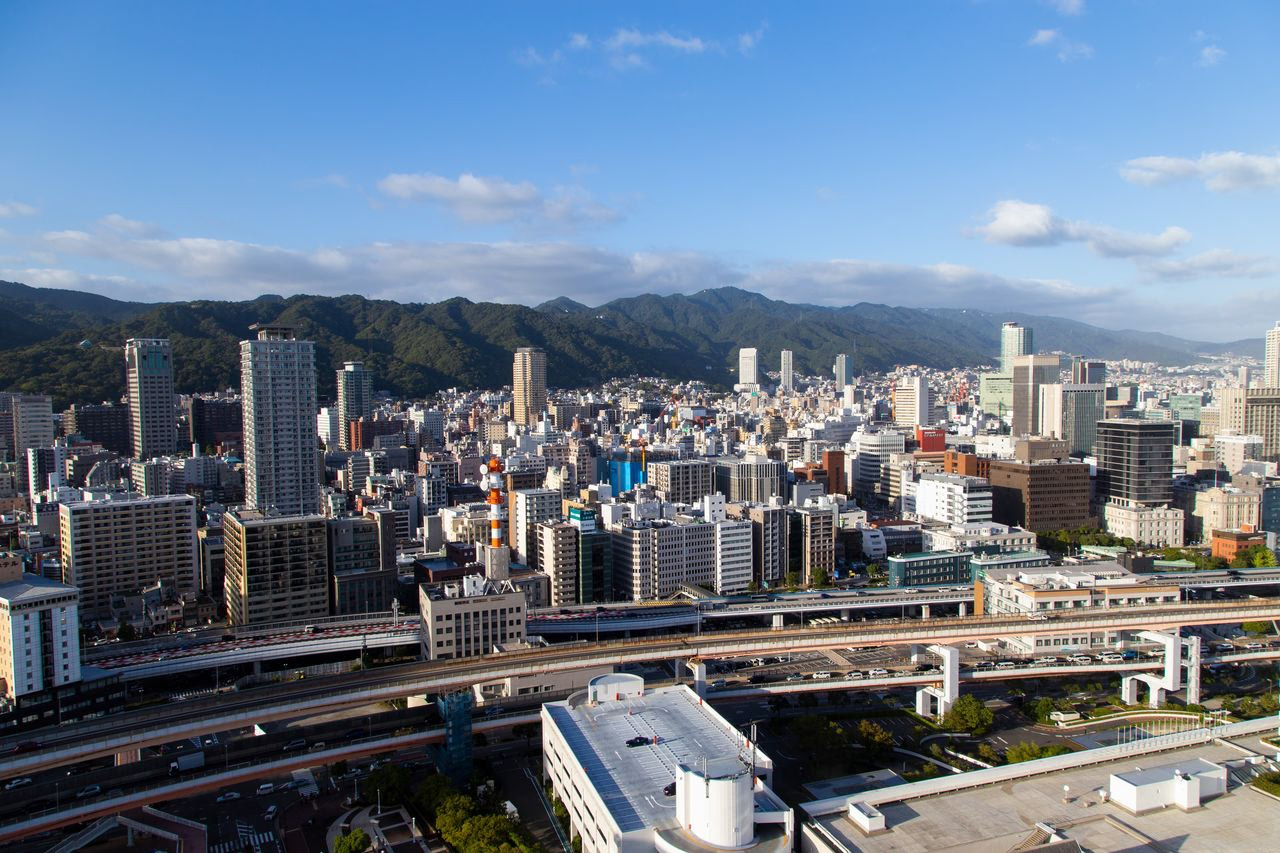
Owada-no-tomari was already a maritime node when Taira no Kiyomori invested in it during the twelfth century. Kobe City records earlier court-sponsored repairs from 812 and Kiyomori’s privately funded work in 1173, undertaken to support trade with Song China. The surviving coastline is not his harbor intact, but sites and markers around Hyogo Ward locate the medieval port zone and prevent the story from beginning with the modern treaty port. Wadamisaki and the Hyogo waterfront are therefore best read as a historical zone rather than as a preserved medieval port. Kiyomori’s works altered channels, shelter and access, but later reclamation repeatedly changed the shoreline. What survives most clearly is the strategic relationship between the Seto Inland Sea route, the sheltered anchorage and the short-lived Fukuhara capital nearby.
Current visibility
At Owada-no-tomari and Kobe Port, “Owada-no-tomari, Kiyomori and the Seto Inland Sea” is grounded in present on-site evidence—the documentary evidence, the harbor, and the ground markers—without implying that every historical layer survives as fabric.
Hyōgo-no-tsu and the Early-Modern Port
Attraction
After the Taira period, the port continued as Hyogo-no-tsu. Medieval repair, trade with Ming China and later coastal shipping repeatedly renewed the same broad harbor district under different governments. Begin this layer at the Hyogo-no-tsu Museum and the surrounding Hyogo waterfront rather than searching for one unchanged quay. The durable historical fact is the port function and regional location, not continuous survival of a single piece of medieval infrastructure. The port’s name and administration changed, yet its advantage remained legible: ships could exchange cargo with roads leading toward Kyoto and the interior. Museum displays, temple records and scattered monuments now carry a history that the heavily modified waterfront cannot display by itself. Treat them as evidence distributed across a working city, not as fragments of one intact heritage precinct.
Current visibility
“Hyōgo-no-tsu and the Early-Modern Port” is visible as a spatial feature of Owada-no-tomari and Kobe Port, with the harbor, the present landscape, and the museum display carrying the on-site reading.
Attraction
Kobe opened to foreign trade on 1 January 1868. The planned foreign settlement occupied the eastern port district, around today’s Former Foreign Settlement, while the older Hyogo port lay farther west. Streets near the Former Kobe Foreign Settlement No. 15 preserve part of that planned urban layer even though most early buildings have disappeared. Reading both districts keeps the treaty port from erasing the coast’s earlier commercial history.
Current visibility
The present landscape at Owada-no-tomari and Kobe Port keeps “Kobe Port Opens in 1868” legible through the harbor, the present landscape, and the streetscape, rather than through one preserved interior.
The 1874 Kobe–Osaka Railway
Attraction
In 1874 Kobe Station opened with the government railway to Osaka, Japan’s second government-operated railway line. Rail changed the port’s inland reach: cargo, travelers and new industries could move between the waterfront and the Osaka region more efficiently. The present station and surrounding city have been transformed, but the railway history supplies a concrete eastern–western transport layer to place beside the older maritime route.
Current visibility
At Owada-no-tomari and Kobe Port, “The 1874 Kobe–Osaka Railway” is grounded in present on-site evidence—the railway trace and the harbor—without implying that every historical layer survives as fabric.
Continuity from Medieval Port to Treaty Port
Attraction
This journey is best read west to east: medieval Owada-no-tomari and Hyogo-no-tsu around Hyogo Ward, the 1868 port and planned foreign settlement farther east, then the railway that tied the waterfront to a wider inland network. The layers are connected but not interchangeable. Kobe’s modern port did not appear on an empty coast; it redirected an older geography of exchange and created a new urban center beside it.
Current visibility
“Continuity from Medieval Port to Treaty Port” can still be read at Owada-no-tomari and Kobe Port through the harbor and the railway trace; the visibility claim concerns that setting, not a past moment preserved intact.
The Foreign Settlement and Kitano
Attraction
The treaty-port city spread beyond its gridded business district. Foreign merchants worked near the waterfront, while residences developed on the slopes of Kitano and Yamamoto-dori from the late nineteenth century. Most settlement-era buildings have disappeared, but the Former Kobe Foreign Settlement No. 15 and surviving Kitano houses give this cross-city history physical anchors. Their different locations also distinguish commercial administration below from residential expansion uphill; they should not be treated as one preserved Western quarter.
Current visibility
The surviving setting at Owada-no-tomari and Kobe Port anchors “The Foreign Settlement and Kitano”; its physical context is the harbor, the present landscape, and the surviving building.