Map: GSI Japan The Battle of Ichi-no-Tani in February 1184 was a broad engagement across the narrow Kobe corridor, not a duel fought at one surviving fort. Taira positions extended from Ikuta in the east to Suma and Ichi-no-Tani in the west, with the mountains behind and the Inland Sea as supply and escape route. Modern roads, railways, parks, temples, and memorial stones now occupy the field. They preserve geography and war memory more clearly than intact battlefield structures.
A Battlefront Wider than the Name Ichi-no-Tani
Attraction
Kobe's official histories describe Taira defenses at both Ikuta in the east and Suma–Ichi-no-Tani in the west. Minamoto forces approached along different axes, and fighting spread across what is now a long urban corridor. Calling the whole engagement Ichi-no-Tani compressed that scale into one memorable western name. This matters on site: a marker beside Sumaura cannot represent every formation or episode. The historical object is the relationship among mountain routes, coastal positions, inland roads, and the sea that allowed Taira survivors to withdraw westward by ship.
Current visibility
The broad front is now an urbanized corridor; terrain and separated memorial sites remain visible, but no single preserved battlefield enclosure contains the event.
The Suma Coastal Bottleneck
Attraction
At Suma, the Rokko foothills approach the Inland Sea and leave a narrow coastal passage. That compression helps explain why the western defenses mattered and why movement along shore, road, slope, and ship could interact so quickly. The modern railway, highway, seawalls, and reclaimed or engineered edges have substantially altered the scene, yet the basic meeting of steep ground and water remains legible around Sumaura. Reading the landscape is more useful than searching for an untouched camp: the battle depended on controlling constricted movement through a corridor already valuable before modern transport occupied it.
Current visibility
The mountain–coast relationship remains visible around Sumaura, while modern transport and shoreline engineering prevent an intact medieval-landscape claim.
Atsumori-zuka as a Later Monument to Warrior Tragedy
Attraction
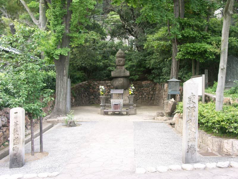
Atsumori-zuka is a large stone five-ring pagoda standing near the modern coast west of Sumaura Park. Local tradition associates it with Taira no Atsumori, whose death at the hands of Kumagai Naozane became one of The Tale of the Heike's best-known episodes. The monument should not be treated as proof that Atsumori's body lies exactly beneath it or that the surviving stone was raised immediately after the battle. Its secure value is memorial: generations selected this coastal location to give durable form to a story about youth, music, violence, and remorse.
Current visibility
The stone monument is visible beside the modern road; its attribution is commemorative tradition, not verified battlefield burial evidence.
Sumadera and the Curation of Atsumori's Story
Attraction
Sumadera gathers a head mound, a reconstructed duel garden, paintings, memorial objects, and flutes attributed by temple tradition to Atsumori. Together they show how one episode outlived the wider campaign through ritual, performance, poetry, and collecting. The garden is a modern visualization, and the flutes' traditional provenance should not be converted into archaeological certainty. The temple's annual memorial observance also keeps the defeated and the victors within a religious frame. This is not an intact battlefield position; it is an institution that has curated the moral and aesthetic reception of the battle over centuries.
Current visibility
The temple precinct is active, while collection displays, the attributed flutes, ceremonies, and interior access follow current temple arrangements.
The Unresolved Route of the Hiyodorigoe Descent
Attraction
Later narratives made Minamoto no Yoshitsune's descent down a steep slope the battle's defining maneuver, but Kobe's own historical discussions preserve disagreement over what Hiyodorigoe and Ichi-no-Tani meant geographically. Several routes and locations claim the episode. The uncertainty is not a defect to hide: it reveals how a broad operation became attached to a single dramatic image. Present-day slopes can demonstrate the physical difficulty of movement, but no viewpoint can certify the exact path, troop number, or tactical sequence. Route markers should therefore be read as interpretations in an active historical debate.
Current visibility
Steep terrain and multiple claimed routes are visible in different parts of Kobe; no uniquely verified descent path is presented as settled fact.