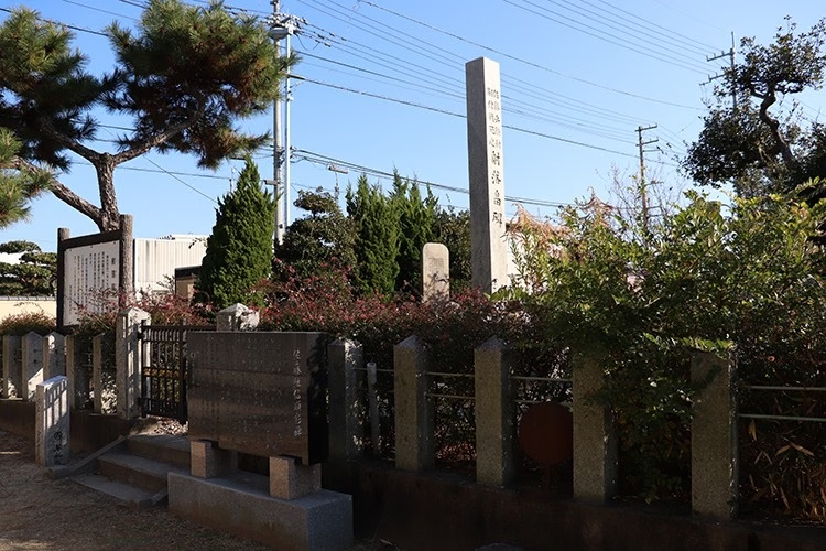
The Eastern Foot and a Shoreline That No Longer Reads as an Island
Attraction
Takamatsu City's historic-site description places the 1185 battlefield around Yashima's eastern foot, with associated sites extending across Aibikigawa into Mure and Aji. Modern settlement, roads, drainage, reclamation, and coastal engineering have changed the relationship between plateau, shallows, channels, and open water. The present landscape therefore requires reconstruction in the reader's mind. Its historical importance lies in a field where land forces, boats, and tidal margins interacted. Treating the plateau only as a scenic mountain obscures the maritime conditions that made Yashima first a refuge and then a vulnerable base.
Current visibility
Plateau, eastern foot, waterways, and separated memorial sites remain visible, but the medieval shoreline and channels have been substantially altered.
Antoku Shrine and the Taira Court's Temporary Base
Attraction
After retreating west, the Taira continued to carry the child emperor Antoku and the imperial regalia, making their base more than an ordinary military camp. Local interpretation identifies Sōmon as a defensive gate tradition and Antoku Shrine as the former imperial-residence area. The present shrine is a memorial structure, not a surviving palace. Its value is spatial and political: it marks the claim that a mobile court established residences and protection at Yashima while trying to recover strength. The careful reading separates the verified Taira presence from later certainty about the precise plan of each vanished building.
Current visibility
The shrine and marked Sōmon tradition are visible; no intact twelfth-century palace or defensive gate survives at the identified sites.
A Rapid Attack That Forced the Battle Back onto the Water
Attraction
Yashima followed directly from the Taira defeat at Ichi-no-Tani. Minamoto no Yoshitsune moved rapidly through Awa and approached from an unexpected direction, while regional support helped turn a limited attacking force into a credible threat. The Taira withdrew toward their ships and continued fighting around shore and water rather than being destroyed at the base. The operational result was a further contraction of their safe maritime network before Dan-no-ura. On site, this history is best understood through distances among plateau, eastern foot, channels, and sailing water—not through a single heroic marker.
Current visibility
The operational landscape is dispersed and altered; the attack and withdrawal are interpreted through geography rather than surviving military works.
Tsugunobu and Kikuōmaru in a Paired Memorial Landscape
Attraction
The eastern-foot battlefield contains monuments associated with Satō Tsugunobu, a Minamoto retainer, and Kikuōmaru, remembered on the Taira side. Their stories entered The Tale of the Heike and local commemoration, and present stones give those individualized deaths a durable location. They should not be read as complete evidence for the exact point or sequence of combat. Their stronger value is paired remembrance: opponents are held within one landscape, while countless unnamed fighters remain without monuments. The sites show how later communities selected exemplary loyalty and sacrifice from a much larger field of violence.
Current visibility
The memorial stones are visible outdoor sites; their named battle attributions belong to established commemoration and literary tradition.
The Fan Target: A Literary Episode Anchored to Real Water
Attraction
Koma-tate Rock and other sites across the water preserve the setting attached to Nasu no Yoichi's celebrated shot at a fan raised from a Taira boat. Kagawa Museum explicitly notes that creative elements entered the war-tale tradition and later paintings. The appropriate reading is neither to dismiss the episode nor certify every detail. The story condensed uncertain, mobile shoreline fighting into a precise test of skill watched by both armies. Modern memorial geography then fixed that image to rocks, sightlines, and place-names. The water relationship remains meaningful even when the exact shot cannot be archaeologically verified.
Current visibility
Named rocks and sightlines survive in a changed waterscape; the fan shot is presented as literary and commemorative memory, not proven ballistics.