Skip to content
Chronicle

Search History Omakase

Start typing to search.

    Read Inō Tadataka Dies Before the Map’s Completion

    Read the article below. Interactive reading tools are available when scripts load.

    Overview

    Inō Tadataka Dies Before the Map’s Completion

    Inō Tadataka died in 1818, two years after the survey sequence ended. His final years had included work in Edo, while the Izu-island party had undertaken its expedition without him. His death thus followed most field measurement but preceded the final map’s official submission.

    Colleagues continued the compilation in the shogunate’s astronomical office. Route records and drawings from separate expeditions had to become a coherent map set. The completed Dai Nihon enkai yochi zenzu was submitted in 1821, three years after Inō’s death. Its timing makes the remaining team’s contribution visible.

    Inō was buried at Genkūji in Edo, near his teacher Takahashi Yoshitoki’s grave. Their association connects his late-life study to the survey work, while the 1821 completion records its institutional continuation. The map commonly bears Inō’s name, but its finished form includes work done after he could no longer direct it.

    Sources and notes

    1. 伊能忠敬の生涯 · Inō Tadataka Museum
    2. 伊能大図・最初期図について · Geospatial Information Authority of Japan
    3. 伊能忠敬の墓 · Taito City

    About these sources

    Back

    1818 | Inō Tadataka Dies Before the Map’s Completion伊能忠敬の死

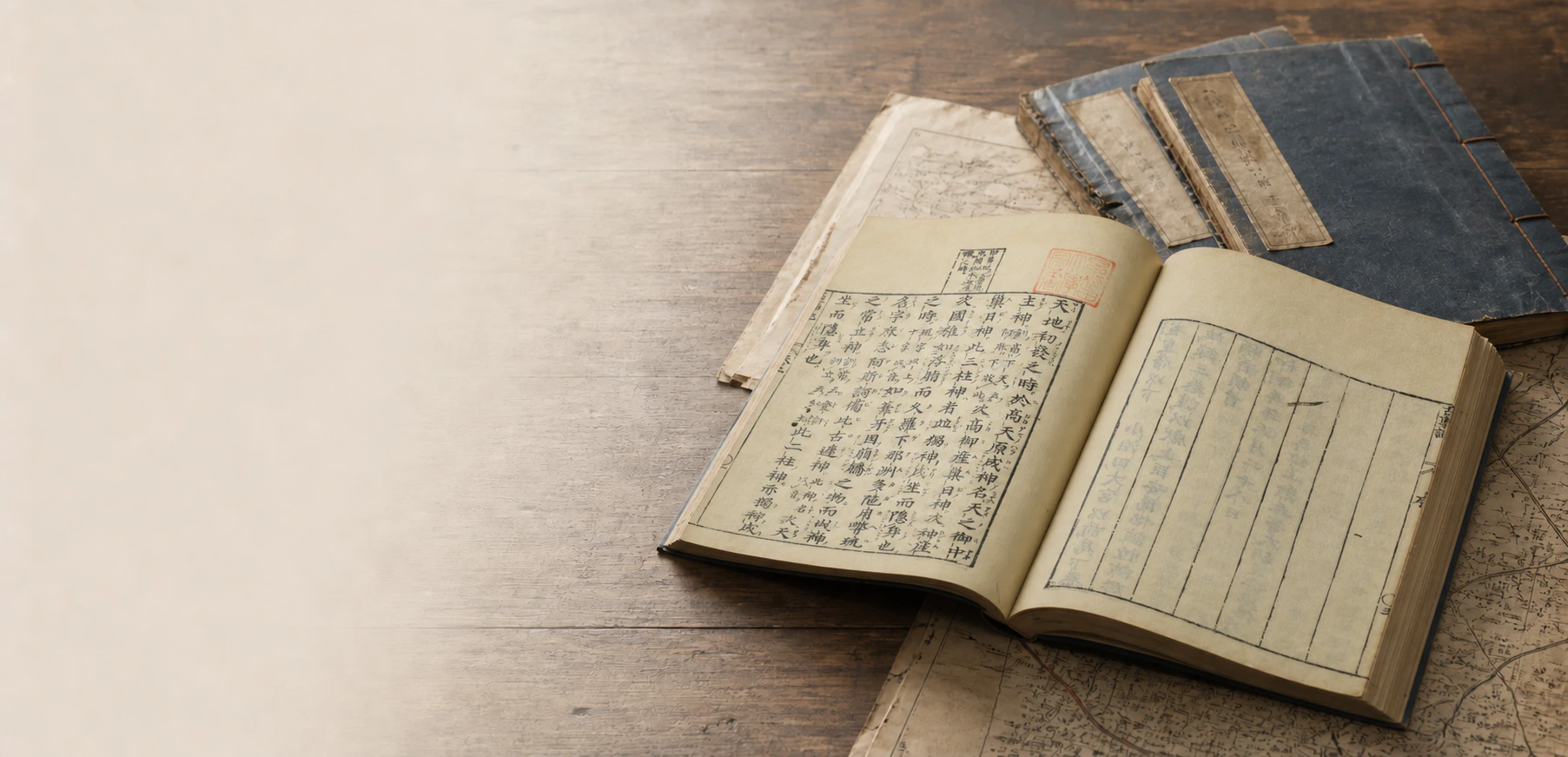
    The Kojiki in an open-book still life

    Inō Tadataka Dies Before the Map’s Completion

    Inō Tadataka died in 1818, two years after the survey sequence ended. His final years had included work in Edo, while the Izu-island party had undertaken its expedition without him. His death thus followed most field measurement but preceded the final map’s official submission.

    Colleagues continued the compilation in the shogunate’s astronomical office. Route records and drawings from separate expeditions had to become a coherent map set. The completed Dai Nihon enkai yochi zenzu was submitted in 1821, three years after Inō’s death. Its timing makes the remaining team’s contribution visible.

    Inō was buried at Genkūji in Edo, near his teacher Takahashi Yoshitoki’s grave. Their association connects his late-life study to the survey work, while the 1821 completion records its institutional continuation. The map commonly bears Inō’s name, but its finished form includes work done after he could no longer direct it.

    Sources and notes ViewHide
    1. [1]

      伊能忠敬の生涯Inō Tadataka Museum

    2. [2]

      伊能大図・最初期図についてGeospatial Information Authority of Japan

    3. [3]

      伊能忠敬の墓Taito City

    Reading context

    Reading preferences

    Text size
    Glossary intensity

    Choose how much explanation appears as you read.

    Saved on this device. All terms remain available in the glossary.

    Browse the glossary →
    History Omakase

    Opening reading…