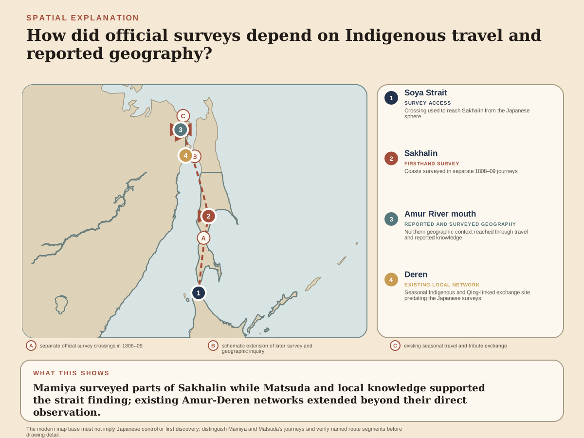
Russian expansion and maritime incidents pushed the Tokugawa shogunate to gather more exact knowledge of Ezo, Sakhalin and the Kurils. Mamiya Rinzō first traveled north with Matsuda Denjūrō in 1808 and confirmed for Japanese officials that Sakhalin was separated from the continent by a strait.
In 1809 Mamiya returned, crossed from northern Sakhalin toward the continent and traveled up the lower Amur to Deren. He relied on local routes and Indigenous intermediaries. His observations described not an empty frontier but a region shaped by Ainu communities, Nivkh and other peoples, and the trade network Japanese sources called Santan.
Reports and maps converted that movement into shogunal knowledge. Later European geography attached Mamiya's name to the strait, but the journeys were neither a solitary discovery of an unknown island nor proof of Japanese control over all the places mapped.
Rinzō came from Kamihirayanagi in Hitachi, a village in present-day Tsukubamirai, Ibaraki. His household combined farming with making hoops for wooden containers. Biographies differ between 1775 and 1780 for his birth; the National Archives account uses the latter, while another signed reference uses the former. The household livelihood supplies firmer context than an exact age at each early turning point. He began outside a hereditary warrior office but developed a skill that government employers needed.
Mamiya and Matsuda moved along Sakhalin's coasts in 1808. Mamiya's 1809 journey went farther through the northern strait and into the lower Amur trade zone. Boats, interpreters and local guidance were conditions of travel, not background details to a solitary expedition.
Rinzō’s 1800 employment in Ezo and meeting with the coastal surveyor Inō Tadataka at Hakodate, its southern port, were separate from the previous year’s first journey. Inō’s instruction later included celestial observations for latitude, position north or south of the equator. Land measurements connect distances and directions along a route; observations of the heavens help place that route within a larger geographical frame. Combining them could strengthen a coastal outline beyond a sequence of local distances. The formation joined Murakami’s practical surveying to methods associated with Inō’s national work.